In the middle of the night I woke up to the sound of rain falling on my tent. A quick check to make sure all zippers were closed and my shoes were under the vestibule, and I went back to sleep. When I got up just before sunrise, all traces of the night's rain had already disappeared. The sky was all blue and I took in the warming rays. Today would be a climbing day. Gualala was the only logical destination for the day.
While packing up, a RV camping neighbor came visit. He was visibly cold, despite his down vest, and clearly projected his own temperature perception on me, offering me a can of heated Starbucks Coffee. I much appreciated the gesture and gave the usual, "Well, I live in Wisconsin, so..." response.
 |
| My new REI tent passed the rain test |
Unfortunately the coffee had dairy in it and I left it in the food box at the campsite for the next bike tourist. My own plan for getting coffee was to return the coffee shop in Duncan Mills, where I had also stopped yesterday—about an hour from the campground. I discovered a nice unpaved trail that connected the campground access road and the tiny village of Salmon Creek, cutting out one or two miles of highway riding.
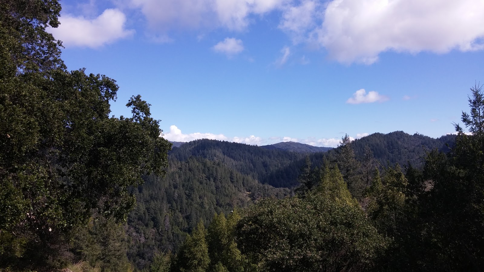
But traffic was light anyway, and in this stretch the highway follows the beautiful coastline closely, making the ride pure joy. Instead of yesterday's dramatic clouds and strong wind, I had clear skies and soft morning light, transforming the landscape.
Again I crossed the mouth of the Russian River and followed Highway 116 upriver into Duncan Mills. After the coffee break, it was time to leave the Russian River valley toward Cazadero.
 |
| Russian River |
I was mentally prepared for the climbing to start right away, but things started out mellow. The road to Cazadero follows Austin Creek, with Cazadero Highway on one side of the river, Austin Creek Road on the other. I took Austin Creek Road, which was amazing, with tall trees, the rushing river, and interesting residences lining the road. The only traffic I encountered were a road crew fixing yet another mud slide.
 |
| Dozens of totem poles on someone's property |
 |
| Austin Creek |
 |
| Switching to the other side of Austin Creek, onto Cazadero Highway |
Soon I would arrive in Cazadero. My familiarity with Cazadero was limited to knowing that it is the name of SOMA's
Cazadero tires. In addition to that, it is a little former logging town, with its highlight being the
historic general store. The store is over 100 years old, and inside and out it still seems to have many of its original elements.
Soon after leaving Cazadero, the climbing began in earnest. King Ridge Road made the limitations of my gearing obvious quickly. With a low gear of 34/30, getting up the hills was a slog. My everyday bike has a fixed gear drivetrain, which provided me with the necessary strength to power up the hill at very low cadence. But this style of climbing is hard. In Wisconsin, I'm able to get away with it because the climbs are rarely longer than a mile or maybe two. But here the climb just kept going, the grade often going above 10%. And of course I had all my camping gear on the bike. The upside was that I had plenty of incentive to stop and take pictures of the amazing landscape around me.
 |
| High above the creek |
 |
| More slides, taking my tires to the limits of traction |
 |
| Up and up and up |
While I encountered very little traffic, the area never felt particularly remote. Residences and farms would appear regularly, and I even saw a USPS delivery van huff up the steep inclines. Occasionally I also encountered what looked the road graffiti common in European bike racing, making me wonder if this road featured in any races. I later found out that King Ridge Road is part of the course for
Levi Leipheimer's Gran Fondos.
After much more climbing, I finally reached the actual ridge. I was pretty spent at that point, but the open vistas in all directions made the exhaustion easy to forget.

I stopped to sit down and eat something under a big, gnarled tree. Unfortunately, being up on the ridge meant that the cold wind from the ocean made things quite chilly, despite the sun. And my level of exhaustion probably didn't help keeping me warm. So I got going again rather quickly, most of the climbing now behind me. I passed the T-intersection of King Ridge, Hauser Bridge, and Tin Barn roads. Turning onto Hauser Bridge would have led me toward Salt Point State Park, my stretch goal for yesterday's ride. Let's just say I was
very glad that I hadn't attempted to reach that goal yesterday.
Instead, I continued on Tin Barn Road. Another very scenic road, with my only complaint being the frequent cattle grates that made the downhill less enjoyable than it should have been. One curious sight were the long stretches of barbed wire fencing, with nothing but forest seemingly on the other side. My initial hypothesis was weed farm. What it actually was only became clear once I reached this gate:
Out here in the middle of nowhere is the enormous Odiyan Retreat, a 1000-acre Buddhist retreat. None of it is visible from the road, but the
website and aerial imagery look very impressive:
 |
| Image: Google Maps |
A little further on I reached
Stewarts Point Rancheria, a little village of the Kashia Band of Pomo Indians. Turning onto Sakggs Point Road toward the ocean, things started looking really remote. In a deep valley of Redwood trees, the steep road was barely wide enough for two cars (not that I encountered many...). Even though riding down here required a lot of attention and hand strength for keeping my speed in check, I was very happy not to be going the other direction.
Without much transition, Skaggs Spring Road eventually brought me back to coast. I was definitely feeling symptoms of bonking, probably because the chilly winds had prevented me from stopping much. The sight of Stewarts Point Store, therefore, made me very happy.
My wholesome meal consisted of buckwheat noodle salad, a Pepsi, and a can of Torpedo--my go-to beer on this trip. Gualala was now in reach, just a little over 10 miles up the coast. While the food and drink had reinvigorated me, I was very happy not having to deal with more hills. What I did have to deal with, though, was a headwind. But again, the scenery helped, a lot. The highway hugs the coast, leading through “The Sea Ranch,” an expansive vacation/residential community with a distinctive architecture and design. The
Wikipedia article about its history and design makes for an interesting read. Would vacation here, for sure.
While Gualala has
camping options, I was ready for sleeping in a real bed. I aimed for what I assumed to be the cheapest motel,
the Surf Inn. At this time of year, getting a room was no problem. While my room was simple, the location was amazing, overlooking the mouth of the Gualala River and the ocean. Just in time for sunset I walked to a nearby grocery store to gather dinner supplies.

I went a bit overboard. Turns out an avocado, hummus, a can of chili, a loaf of bread, and a 20oz bottle of strong IPA is a little much even for me, even after a hard day in the saddle.


