Wednesday, September 25, 2013

Eastern Townships 2013, Day 5: Mansonville to Frelighsburg

< back to day 4 > forward to day 6

Jacques and Allison's hospitality continued the next morning: after waking up we were greeted with a chai latte, yogurt with berries and other breakfast goodies.
Breakfast was great, our legs weren't. Yesterday's 95 km and the hills had taken their toll and it was obvious that today would have to be a short day. Our camping guide showed a promising looking campground in Frelighsburg, about 45km from our current location. Jacques told us that Frelighsburg was a very nice little town, and so we said goodbye to our hosts and headed off into the cloudy day.
The first 15 kilometers along the Missisquoi River were fortunately flat, but we could still hear our legs complaining.
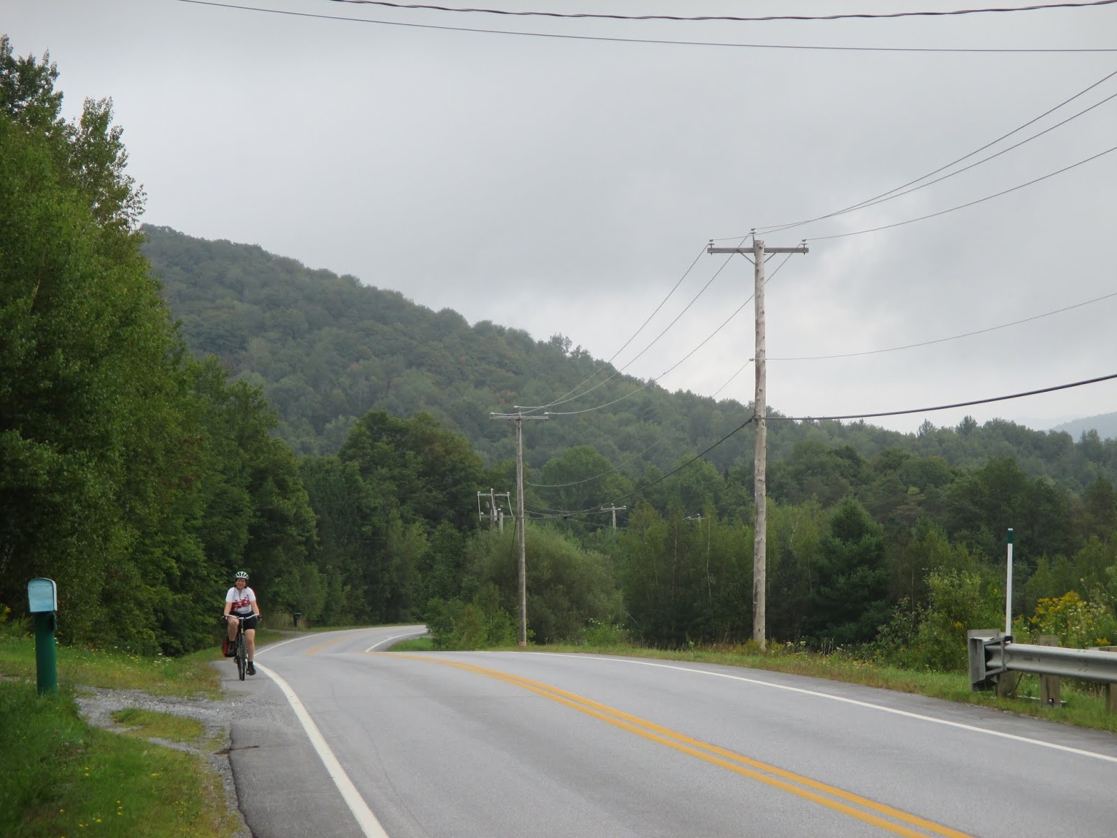
Once again, we had the roads mostly to ourselves and could mentally prepare for the upcoming climb up Route Scenic.


On our club's 300 km brevets, Route Scenic is the one big climb. At that point, you've already ridden 160 km and so I wasn't quite sure how bad that hill really was. Well, it was a tough climb because it was long, but it was less steep than what we had encountered on previous days. We made a quick stop to check out the Chapelle Sainte-Agnès, a pseudo-romanesque chapel built by a rich Montreal antique dealer to complement her vineyard.

The humidity was once again pretty high, and combined with the sweat we were pretty drenched by the time we reached the top of the climb.
The descent into Abercorn was fun, as usual, even though I slowed down a bit more than usual because of the wet roads. In Abercorn we encountered this old schoolhouse that had been completely yarn bombed -- "knit graffiti welcome"


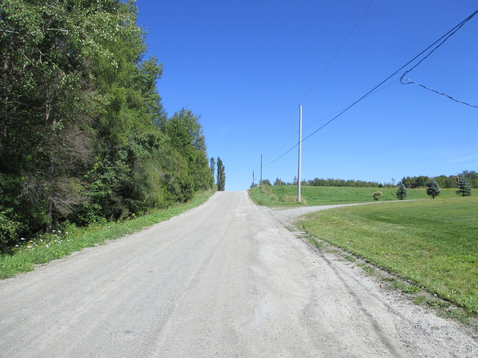
Other than that, there wasn't anything in Abercorn and we continued west, now again in unknown territory. Of course, there was more climbing, making the biketopus severely unhappy. Bravely, she ascended the first couple of climbs, but at the bottom of YAFH (yet another f****** hill) we had to stop and only after a force-fed Clif Bar and lots of encouragement could we continue
.
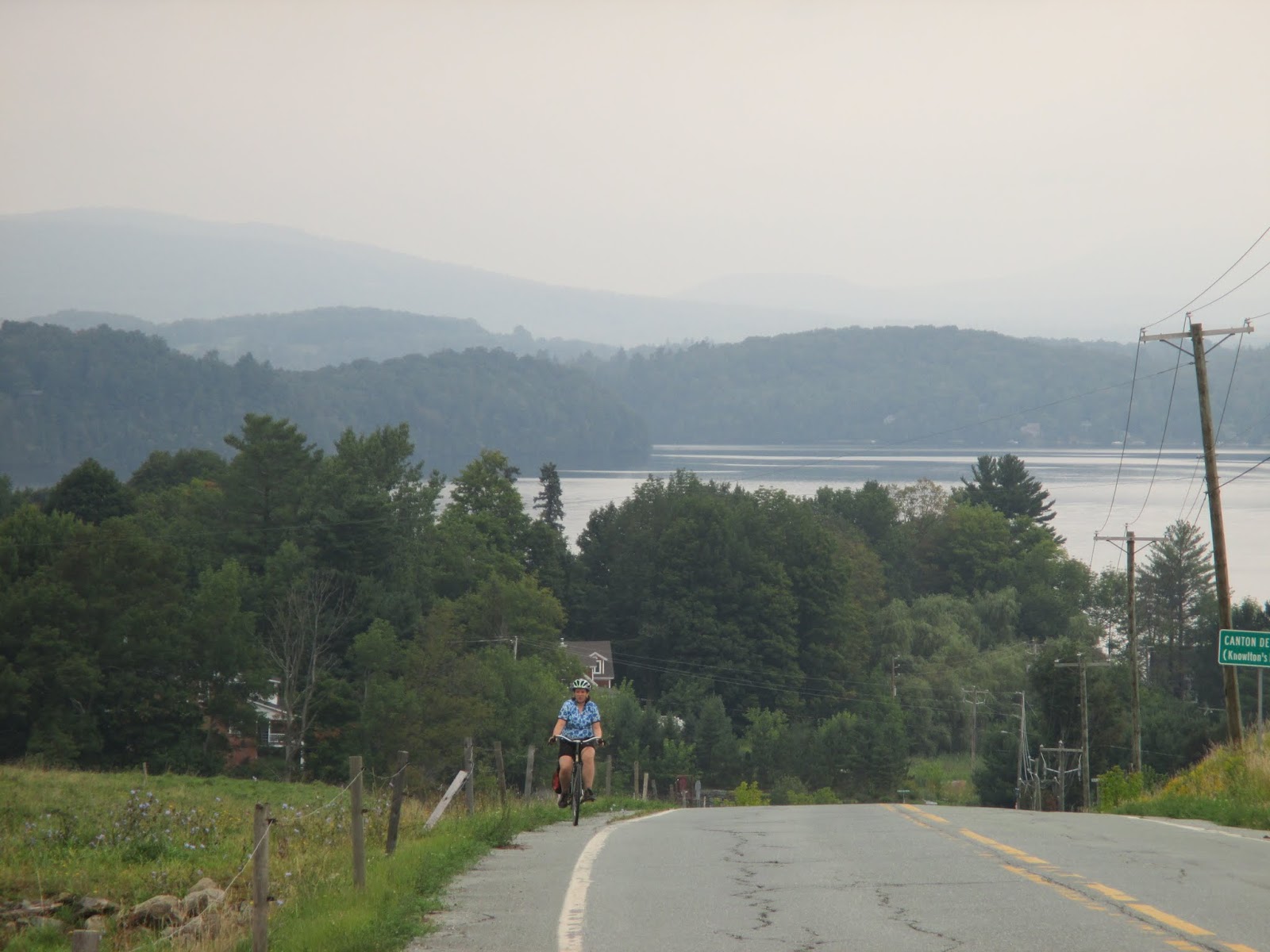
Fortunately, the steep and hard climbs gradually gave way to more manageable rollers. The whole time we were never more than a few kilometers away from the US border, probably contributing to the emptiness of the landscape.

Just before reaching Frelighsburg, we encountered the best downhill so far: dead straight, no intersections, cars, or driveways, and smooth pavement. I bombed down there at a top speed of 75 km/h, and even the usually timid biketopus enjoyed herself at her personal woo-hoo speed.

Frelighsburg was just as picturesque as promised. We stopped at Aux 2 Clochers, a restaurant with a great porch above the Rivière-aux-Brochets.

Aux 2 Clochers
After our late lunch, we walked across the street to a schoolhouse-turned-tourist office/gallery before leaving town again towards our campground.

Local artists on display

Le Grammar School, in the typical Frelighsburg red brick
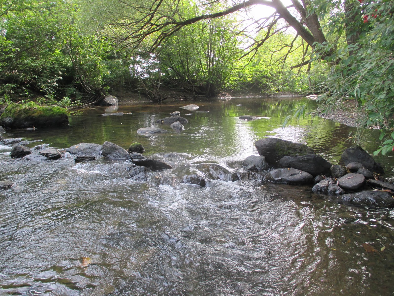
The campground was about 5km outside of town, only a few hundred meters from the border crossing into Vermont. Camping Écologique was the best campground of the trip: our site was under large trees, right next to a gurgling creek -- pretty much the only sound to be heard there. A bonus feature were the two cute kittens that were hanging out in the common area. One of them followed us all the way to the campsite before jumping on the ATV of the a staff member to be taken back.


It wasn't that cold...

Having a beer while sitting on a rock in a creek -- what could be better?

The lazier of the two kitties
After setting up our tent, I quickly rode back into town to buy groceries for the evening. On the way I spotted this guy on the shoulder of the road:
It wasn't quite obvious in which direction he was headed and so I didn't carry him across the road. Fortunately, by the time I came back he was no longer there.

This wasn't the last wildlife of the day: While we were sitting next to the firepit, dusk slowly surrounding us, I suddenly spotted a skunk! This visitor wasn't exactly welcome and our knowledge of what to do in case of skunk encounter was spotty. I made hissing noises towards it but that scared the biketopus more than the skunk... Fortunately, the skunk seemed to be more interested in insects than us and continued on its way. Quickly we consulted teh Google for skunk advice and were relieved to read that them spraying humans is actually not that common.

Nonetheless, after dinner and spotting the skunk in the distance a couple more time we made sure to hang up all our food and other smelly items. As we didn't have anything to hang up the trash, I decided to walk to the trash containers near the campground exit. At this point it was pretty dark and misty. I was happy to have arrived at the container without any further wildlife encounters -- or so I thought. Just as I was about to throw the trash bag into the container, my headlamp reflected back from the eyes of three raccoons who were sitting right in the container, giving me a "What do you want here? This is our trash" look. Well, I decided to just hang my bag on the fence around the containers and quickly retreated to our tent.


> forward to day 6

Tuesday, September 24, 2013

Eastern Townships 2013, Day 4: Lennoxville to Mansonville

< back to day 3 > forward to day 5
Until now, the weather on our ride had been perfect: sunny but not too hot during, and cool but not cold during the nights. During the night at our motel, however, we could hear the first rain, and when dragged ourselves out of bed it was very gray outside. It wasn't exactly raining, but the air was oversaturated with water, leaving fine drops on our skin and clothing on the way to breakfast. Lennoxville not only sports a fine brewpub, but also a great coffee roaster. We had spotted the place the previous night and already decided that it looked like a perfect place to have breakfast.
The barrista was very nice and started geeking out with me about cold brew coffee, but he also seemed slightly overcaffeinated and totally forgot the biketopus's cream cheese bagel. The bagel and our drinks were very tasty, however, and we would definitely go there again.While having our breakfast we figured out our plan for the day. We decided to follow the Route Verte back to Magog and then either call a potential warmshowers -- a couchsurfing for cyclists network -- host in Mansonville or find a campground somewhere near Magog.
The weather forecast predicted showers throughout the day and possibly heavy thunderstorms in the late afternoon. For now, it was merely grey and humid. Out of Lennoxville the Route Verte follows the Massawippi River on what appears to be a rail trail. For the first time, we were slightly chilly in shorts and short sleeve jerseys -- but not cold enough to actually add another layer. The trail was almost completely empty, but after switching to the road near North Hatley we encountered two fully loaded cyclists. This was a rare occurrence, as the vast majority of cyclists we had encountered on our trip so far had either been people on day trips or maybe credit card tourers.

North Hatley is located on the northern end of Lake Massawippi. Whereas our route so far had been as flat as is typical for a rail trail, the road out of Hatley was the first of many mean hills still to come today. First on highway 108, then on a short, steep and wholly unnecessary section of trail, and then on a muddy dirt road we climbed from lake level up the surrounding hills. The dirt road was closed due to construction but we fortunately could get through. The landscape was a mix of forests and a bit of agriculture, and we didn't encounter many cars or people. We descended on a dead straight dirt road with just the right gradient to go fast but not too fast.

After crossing the highway we were on a trail again, traversing a dense forest before ending up at a municipal park. There was a mismatch between where my GPS wanted us to go and where the Route Verte signs pointed to, and after a short Clif Bar break we decided to go with the signs. This turned out to be the right decision and soon after we were back at where the two routes into Sherbrooke split.

The way back to Magog was uneventful except for some mosquito attacks when we were trying to take a nature break in the forest. We followed the same way as yesterday but took a shortcut on the main road into Magog to avoid some Route Verte stupidities. Just in time for lunch we were back at Marché Vegetarien. The promenade on the lake today was much emptier than yesterday. We finally had to put on our rain jackets to protect us from the cold wind blowing over the lake. It was still unclear what the day's final destination should be. It was well past noon and to Mansonville it still would be a long and hilly way. Calling Jacques, our potential host, settled the matter: we would stay with him tonight. He was very friendly on the phone and promised us a bed, dinner, and beer -- "that's the Eastern Townships way." To my question if there were many hills between Magog and Mansonville he just laughed out loud...
And yes, there were more than enough hills. Right after turning off the Route Verte, a big hill appeared in front of us and for the rest of the day the elevation profile looked like a sawblade. For the first time on our tour we were no longer following a bike route but rode on gorgeous country roads. To me this is the best kind of riding. Traffic was minimal and it was finally dry enough for me to pull out my camera.
We were now headed straight south towards the Vermont border, following the western shoreline of Lac-Memphremagog.
Other than cows, small family cemeteries, and a beautiful landscape, there isn't much.

The sky looked as if it was about to start raining any minute, but amazingly the weather held up all the way to Mansonville.
At 5pm we quickly called Jacques to let him know that we were getting close. To our delight, he told us that from here on it was only more climb and then all the way downhill into Mansonville.
Mansonville is a cute little town that I had ridden through previously on my 300km brevets. We had been warmshowers members for a while now and hosted several bike tourists in Montreal, but this was the first time that we ourselves stayed with someone from warmshowers. Jacques and his wife Allison were great hosts! They provided great food, beer, a cute dog, and excellent conversation. Jacques, amongst other things, works as a guide for a bike touring company and had just gotten back from a ride in the Lower Saint Lawrence region.
Shortly after dinner, we exhaustedly and happily passed out in our comfy bed. This had been the hardest day of the tour!


> forward to day 5

Saturday, September 21, 2013

Eastern Townships 2013, Day 3: Mont-Orford National Park to Lennoxville

<  back to day 2 forward to day 4 >

The night in the tent was quite a bit warmer than the previous one. We had closed both sides of the rain fly, which probably was a good idea not just for temperature regulation but also for keeping wildlife in check. Campground staff had warned us about a raccoon problem and we had spotted a couple of them before going to bed. Our neighbor, who slept in a hammock, told us in the morning that the 'coons had kept him awake for a good while when they were fighting over a plastic bag and ran around his bike and hammock. We hadn't heard any of this, me because of my preventative use of ear plugs, the biketopus because of her ability to sleep through that kind of stuff after a long day on the bike.

After my nice evening swim, I definitely wanted to make sure that the biketopus would get to see the lovely lake as well, and so after packing up we headed down to the lake instead of back up to the Route Verte. It was still very empty and quiet at the beach, but we knew that there was a long day ahead of us and we got going again. According to the map, the main park road woul
d intersect with the Route Verte after a few kilometers and so we decided to spare ourselves the potential up and down of the trail. The park road was very quiet still and the scenery was really lovely.
Morning at the Lac-Stukely beach


Our destination for the day was Lennoxville, a small town just outside Sherbrooke, where we had booked a motel for the night. Sherbrooke is quite a bit lower than the Mont Orford Park, but this by no means meant that it'd be a nice downhill all day. The climbing started as soon as we got on the Route Verte at the Étang aux cerises, another beautiful lake in the National Park.
On the park road
Étang aux cerises -- not exactly a swamp
Through the dense forest of the National Park the Route Verte meandered up and down. The climbs weren't long, but some of them were steep enough to force me off the bike for the first time on this trip.
Leaving the park
Once we had exited the park, we got a short reprieve from the up and down. First on a gravel trail, then on a stunning dirt road, we zoomed downhill to the small town of Orford.

Perfect dirt road
We had a second breakfast at the local grocery/prepared foods store. The following 10 kilometers would have made a great exhibit for a bike-infrastructure-planned-by-non-cyclists blackbook. The route awkwardly looped around Orford, and while doing do continued to include every little climb possible. More than once did we fantasize about putting one of the Route Verte planners on a fully loaded touring bike and making them ride the route 5 times in a row...
Huh, now we're heading towards Mont Orford? I thought that's where we came from...
Fortunately, the great weather and scenic landscape mostly made up for the planning SNAFUs and after not too long we reached Lac Memphremagog and the town of Magog on its nothern tip.
Is Lac Memphremagog's Nessie called Messie?
It was time to have lunch again, and we were happy to spot a "Marche Vegetarien" right next to the lake promenade. It was a little suspicious that a vegetarian market would include a butcher's and a fish shop, but hey, they did have a good selection of tasty veggie foods.


Our lunch spot was a picnic table overlooking the lake that stretches all the way into northern Vermont.

The view from our lunch spot

The route out of Magog was mostly unremarkable. A little bit of gratuitous up and down, some riding through industrial areas, and then long, straight gravel trails through the forest. After passing Lac Magog, much smaller than Lac Memphremagog, the bike route forks: The official Route Verte crosses the Magog River and leads south to Lac Massawippi before entering Sherbrooke from the southeast; the other route follows the Magog river northeast into Sherbrooke. After the previous days' experience with the Route Verte, we suspected that the former option would not only be farther, but might also include who-know-how-many hills. Therefore, we decided to take the easier option this time and save the Route Verte for tomorrow.

The ride into Sherbrooke was mostly uneventful and because of the proximity of the river very pretty. A friend of ours who spent a lot of time in Sherbrooke for work had warned us that the city itself was rather boring. The view from the cycling path, however, made it seem pretty nice, though. Sherbrooke is located at the confluence of the Magog and the Saint-François rivers, and this is also where the Axe de la Magog and the Route Verte meet together again. To get to our destination, we followed the Route Verte and the Saint-François southeast for about ten kilometers until we reached the campus of Bishop's University.
You can't see the sign, but this is a sewing atelier. The biketopus was jealous!
Bishop's is one of the three primarily English language universities in Quebec and the only one outside of Montreal. Consequently, Lennoxville had a pretty anglo feel to it. At our hotel, La Paysanne, most of the cars had Ontario license plates -- parents dropping off their children for the new school year. After having made ourselves a little more presentable and me going on a short reconnaissance ride to make sure they were open, we walked into the town center to what is the oldest brewpub in Quebec, the Lion d'Or / Golden Lion. On their lovely patio we enjoyed some beers before getting some grocery store foods for me and a gigantic poutine for the biketopus, to be eaten in our comfortable bed.


forward to day 4 >

Friday, September 13, 2013

Eastern Townships 2013, Day 2: Ange-Gardien to Mont-Orford National Park

< back to day 1 > forward to day 3

The night in the tent was cold. We had left one side of the rain fly open for better ventilation, and to save some space and weight I had brought only my middle-of-the-summerßweight sleeping bag. The bright morning sun and a cup of coffee warmed me up quickly, though.

As it is usually the case on the first few days of a tour, it took us a while to get ready; but by 9:45 we were on the road again. Our tentative plan for the day was to make it to Mont Orford National Park, about 80 kilometers and a bunch of climbing. We knew that this might be a challenge; but since there were a number of other campgrounds along the route we went for it anyway.

The road from the campground was mostly empty on this beautiful Saturday morning, and after only a few kilometers we reached the Route Verte 1.


Our progress towards Granby was slightly delayed when another cyclist flagged us down to ask where he was. There was clearly some mismatch between the distance he said he wanted to go and his degree of familiarity with the route. We did our best to guide him on the right way but I'm not entirely sure if we didn't just confuse him more...

It was a bit longer into Granby than anticipated, and so we stopped for a quick Clif Bar somewhere on the trail. By the time we arrived at the lake near Granby's downtown it wasn't quite time for lunch yet, but we stopped at a grocery store in order to stock up. Most larger grocery stores in Quebec offer a decent selection of prepared foods, and we enjoyed our third breakfast on the shore of Lac-Boivin.
Fountain in Lac-Boivin in Granby

Third breakfast

Kiss the flatlands goodbye!
Bike traffic on the Route Verte had picked up a lot -- everyone, from hand cyclists, families with tag-alongs, or what looked like the local e-bike club, was enjoying the day on their rides. Whereas so far our ride had been dead flat, in Granby we would start seeing the mountains of the Eastern Townships. Our route also started climbing, but for now it was just the gentle grade of the Estriade, a rail trail.
But a climb is a climb and so we were happy when we reached a lovely bike rest area at the outskirts of Waterloo. Toilets, water, picnic tables, two folks from the local tourist info, and a restored caboose made for an excellent spot for having lunch.
Inside, there was a model railway and information about the Estriade and its history
Waterloo's significance for cycling lies in the fact that it's home to the headquarters of Raleigh Canada. Raleigh bikes are still being manufactured there today. Not for much longer, though, as Raleigh announced at the beginning of 2013 that production will be shut down by the end of the year.

The Estriade ends in Waterloo, and the Route Verte continues on the appropriately named Montagnarde. Right after getting out of town, we were on a rough gravel path along a pipeline corridor -- and the climbing got a lot tougher. The path ended soon and for the next hours we'd be riding on magnificent gravel roads. Riding on gravel roads is all the rage these days, and no matter if you buy into the hype or not: they make for some fine riding! We encountered very few cars and the road surface was smooth enough to not cause any discomfort.

Discomfort was only caused by the relentless up and down of the route. Steep climbs were followed by rapid descents, through a pastoral landscape of meadows, forests, and mountains.

Gravel,

gravel,


and gravel.
The road, called Chemin de la Diligence, leads straight west for many kilometers. Close to the village of Stukely, there suddenly were dozens of cars parked along the side of the road -- as it turns out there was a Country music festival going on.
Yee-haw!
Not exactly our kind of scene, and so we we continued. The direction of the road didn't change, but now it was paved again. This made the big hill out of Stukely that we had seen from the summit of the previous ascent a little less challenging. But both the biketopus and I started to feel the effects of the up and down on our legs. I announced every 10 meters of climbing that we completed to keep us motivated.
Someone needs to hook that up to a fatbike

Big hill out of Stukely

Almost there!
Fortunately, this was the last major climb of the day. After a very fast descent, we reached Lac d'Argent. There are two very nice looking campgrounds right on the lake and we pondered if we should maybe just stay there instead of continuing the remaining kilometers -- and an unknown amount of climbing -- to the National Park. At any rate, we would have to get groceries first, and so the biketopus took a break on a big rock while I rode into the town of Eastman.

Eastman had some very tempting looking restaurants with sunny porches, and was just generally bustling with weekenders. But I just got food and a cold sixpack and returned to the biketopus. After some deliberation, we decided to just continue to the park. The Route Verte guidebook had a warning of an above 10% climb on the way there, but whatever! The path from Eastman to the park is a gravel trail through quiet woods. And while there were a few steep climbs, we were very happy to have finally reached the park border and soon after the turn-off to the campground without any hills worthy of a warning sign.
Most national parks in Quebec have introduced new cyclist-only campsites this year, similar to the hiker-biker sites in US National and State Parks on the West Coast. This means that cyclists have priority, no reservation is required, and they're a little cheaper than the other campsites. Other than one other cyclists who was going the opposite direction, from Sherbrooke to Montreal, we had the nice space all to ourselves.The normal campground, in contrast, was fully booked.
Bienvenue Cyclistes!
Whereas at the previous campground at least cold showers had been free, at the park all kinds of showering cost $1 for 4 minutes. Not exactly unreasonable, but grouchy me was unwilling to pay and instead hopped on his bike to ride to the nearby Lake Stukely. This turned out to be a great decision. The lake is absolutely beautiful, and this was emphasized even more by the sun just about to set. I floated around in the clean, warm water for a while before washing my hair over a sink and then pedaling back to our campsite. This was clearly the best campground on our trip.
Lac Stukely in the morning
As I realized only after returning home, unfortunately my GPS had crashed at some point during the ride, and therefore the track below is missing the last third of the ride.


> forward to day 3