It's Christmas and I just finished reading the latest issue of Bicycle Quarterly. It's the 20th anniversary issue and looks back at highlights from the past two decades. And two days ago I listened to the end-of-year episode of bike podcast Antritt, which also looked back at the year. So now it's time to look back at my bike year and review some highlights.
The Swamp Tile

 |
| Where the road ends, you get out the snowshoes |
A very early highlight of the year: Collecting the damn Swamp Tile. What is the swamp tile? It's a square of land in the Deansville Wildlife Area that's quite inaccessible. I needed to visit that square in an effort to expand my max square for VeloViewer Explorer, and I had failed to reach it twice before. So when the weather looked alright for January, I decided to make
another attempt at the swamp tile in the Deansville State Wildlife Area. I loaded snowshoes on the back of my studded-tired fixie, brought a spare pair of socks in case it'd get my feet wet, biked out there, carried/pushed the bike through frozen swamp/grass and succeeded in reaching the tile! ![]()
Three Lakes X
Riding across the three main Madison Lakes -- Mendota, Monona, and Wingra -- in early February should've been a highlight. Unfortunately the experience was somewhat spoiled by an asshole truck driver at the very beginning of the ride. But still, riding across frozen lakes is still a special experience.
![]()
 |
| Lake number 2: Monona |
Hugh Jass Fat Bike Race
In between a lot of basement Zwifting, I did a fat bike race in late February. Kevin and I made the dubious decision to bike to the start and we arrived barely in time to still register (I'm still embarrassed about dripping all over the sign up sign up sheet as my balaclava thawed... Unfortunately no pictures. ![]()
Colorado
 |
| The high point, literally |
My first time in Colorado was basically a week's worth of highlights. Every ride was amazing, especially the numerous sections of empty gravel roads. This trip also included a ride to the highest point I ever biked to: 3075 meters (10,088 ft).
Gold Hill ![]()
To the top ![]()
 |
| A steep gravel road on the way to Gold Hill |
200 km Permanent Recon
I
like randonneuring. I don't like having to make the arrangements to get
to the start of a brevet in Richland Center. So created a Permanent route (i.e. a randonneur ride that people can do at
any time) out of Madison, dipping into the northernmost parts of Illinois. In June I test rode the route to make sure there weren't any issues with the route or cue sheet. More detailed post here. ![]()

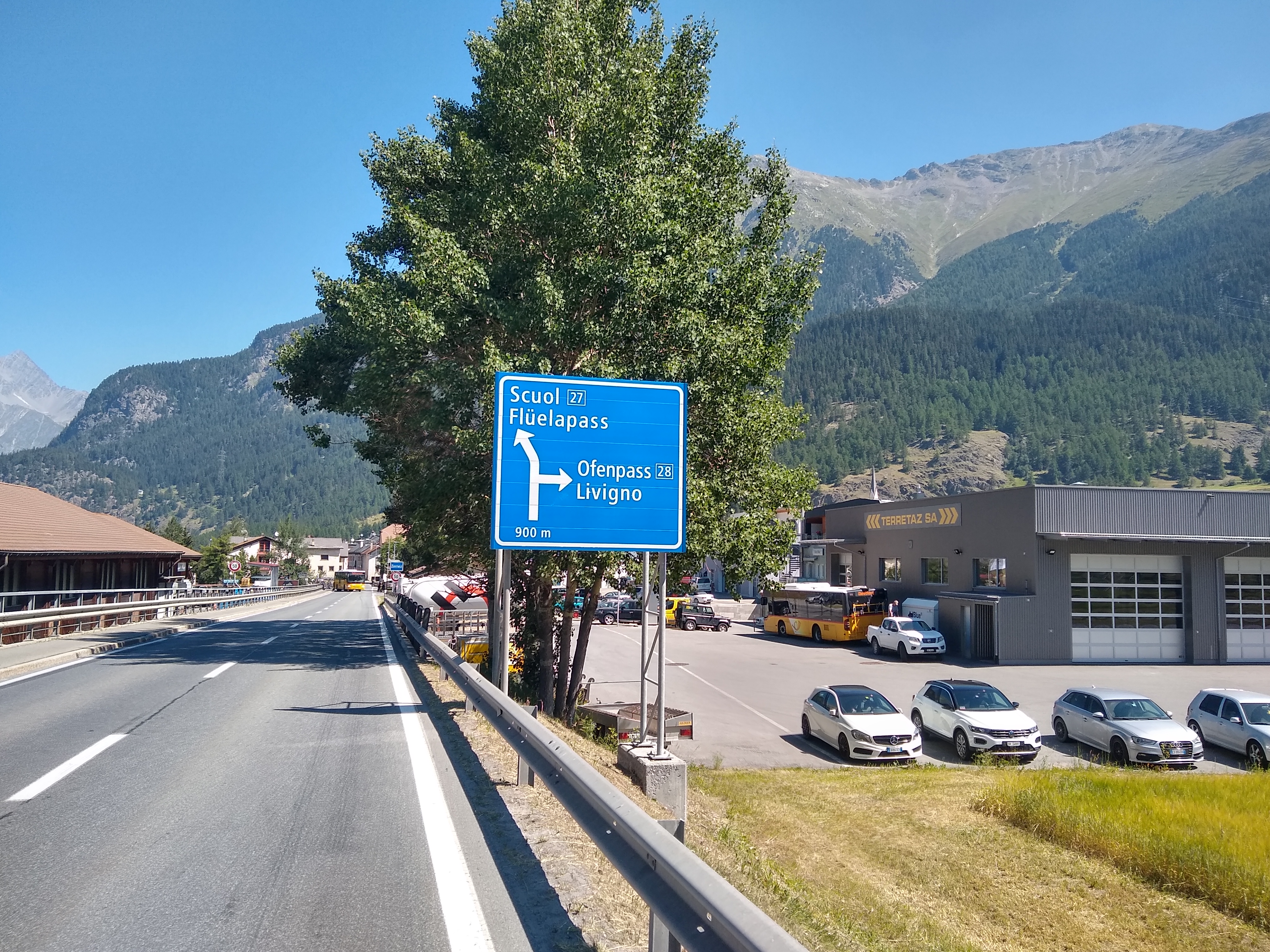
Switzerland
 |
| Toward the Albula |
Another first this year, another highlight: Vacation in the Swiss Alps. The bike highlight of the trip was my loop across two major passes: the Albula and Flüela. ![]()
Second place: Biking from Davos through 4 countries to catch the train back home in Lindau. This is my favorite type of ride: A recreational adventure that has some faint practical purpose to it. I could have just taken the train back from Davos, but riding 130 kilometers through Switzerland, Liechtenstein, Austria and then just across the border into Germany, would save me some small amount money because I had a monthly rail pass. ![]()
 |
| Following the Landquart River toward the Rhine |
 |
| Liechtenstein Parliament: "The highest task of the state is to promote the whole welfare of the people." |
 |
| The final border crossing of the ride, from Austria into Germany |
Swabian Jura Errandonée
 |
| Württembergische Metallwarenfabrik (Württembergian Metal Wares Factory) |
Speaking of fun rides with a purported practical purpose: My parents had borrowed a set of dessert forks from a friend. Somehow a few of the forks disappeared. The obvious solution: A very hot and hilly 126 kilometer ride to the fork manufacturer's HQ and outlet store and back.
Swabian Jura Errandonée ![]()
 |
| New bridge for the high speed rail connection between Stuttgart and Ulm |
 |
| Historic center of Schwäbisch Hall |
 |
| One of the many beautiful, apple-tree-lined roads in the Schwäbischer Wald |
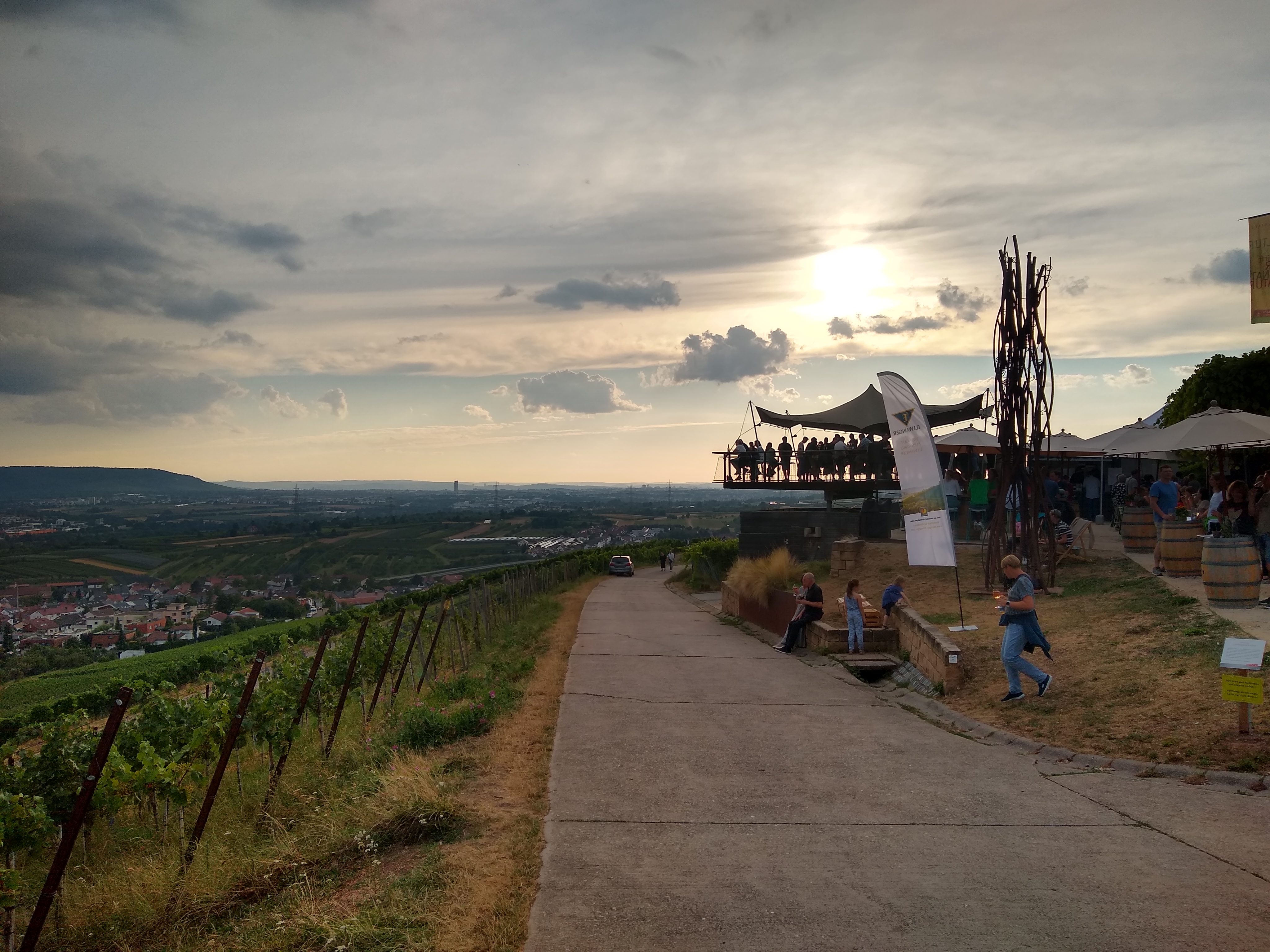 |
| Sunset wine bar in the vineyards |
There were a few other amazing rides in Germany: An after-work ride to a vine bar in the vineyards; a train-bike-train-bike adventure centered around the Stuttgart Critical Mass; and a ride to Schwäbisch Hall on the quiet, scenic (and never flat...) roads of the Swabian Forest.
Karlsruhe to Critical Mass ![]()
Schwäbisch Hall ![]()
Vineyards ![]()
 | |
| Stuttgart Critical Mass |
Fake records
.jpg) |
| Waiting out the rain in Dodgeville |
Once back in the US, I had some repentance to do. Many months ago I had made up a story about a historical event: In the late 19th century, a man named John D. Cannonball wanted to demonstrate the superiority of the highwheeler over the safety bicycle by breaking the previous record for riding from Dodgeville to Madison. My fake was a little bit too convincing and a friend scheduled an event to commemorate the historic ride. We decided to keep the ride on the calendar and of course I felt compelled to participate. So Jacob and I biked to Dodgeville (and got soaked by a thunderstorm) and then rode back to Madison as fast as we could. I think this should become an annual event... ![]()
.jpg) |
| At the "finish line." We and our safety bicycles made good time |
Wright Stuff Century
 |
| Riding the Driftless with Andy |
Pick Me Up at the Border & Badger Challenge weekend
Two big rides, one weekend: On Friday night, I joined Bike Fitchburg's traditional Pick Me Up at the Border ride: Start in Fitchburg in the evening, ride south on the Badger State Trail toward the Illinois border. Because I had yet another big ride planned for Sunday (see below), riding all the way to the border was too much. Instead I rode with the fast kids in the front for as long as I could and then turned around. It was still over 100 kilometers and I got home just before midnight. ![]()
Then on Sunday it was time for the Badger Challenge, a charity ride for the local cancer center. I was signed up for the 100 mile ride, but with way to the start and back it ended up being my longest ride of the year, at 204 km. I overcooked it early on and had to battle a strong headwind on the way back. A challenge it was. ![]()

Tandem camping at the CX Cup

Despite several attempts earlier in the year, the SO and I never managed to go bike camping. The Trek CX World Cup seemed like the last opportunity. So we loaded up the BOB trailer and rode out there, with an amazing tailwind. And tons of fun at the World Cup. ![]()
 |
| A little chilly for camping |

Season Closer: To Rochelle and back
 |
| Finally! |
 |
| Nice Illinois gravel, with a side of tailwind |